



We are world class Crones Landsurveying Company

Crones Landsurveying
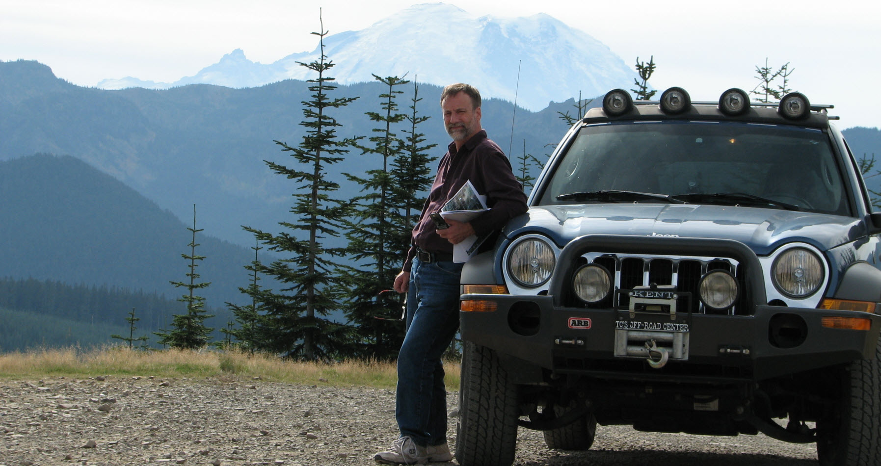
Owned and operated by James D. Crones, wh over 32 years experience in the land surveying industry.

Services
Boundary & Lot Surveys, Topographic Surveys, Mapping, Short Plats, Plats, Boundary Line Adjustments, Legal descriptions, Easements, Elevation, FEMA Flood Certificates.

More Services
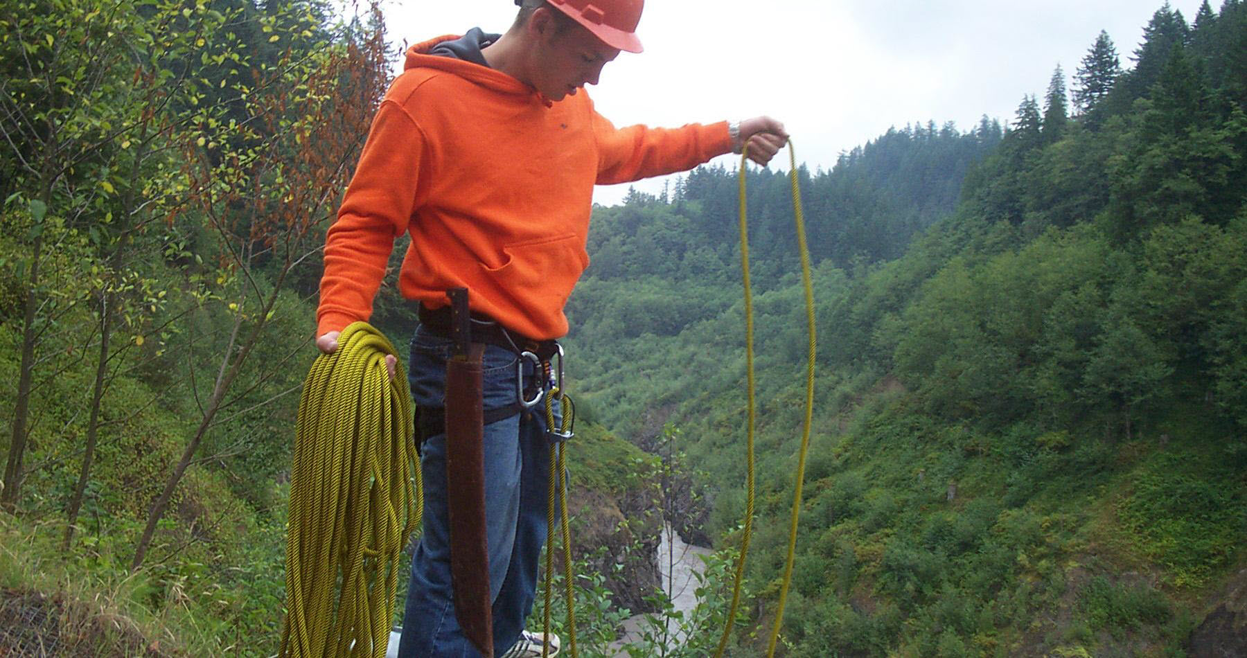
Wetland Survey Delineations, Flood and ALTA Insurance, As Built Site Surveys, Environmental Critical Areas, Construction Surveys/Staking, Aerial Support, and Route Surveys

Quick Service
Fast and convenient scheduling! Online Estimates!
Crones Landsurveying
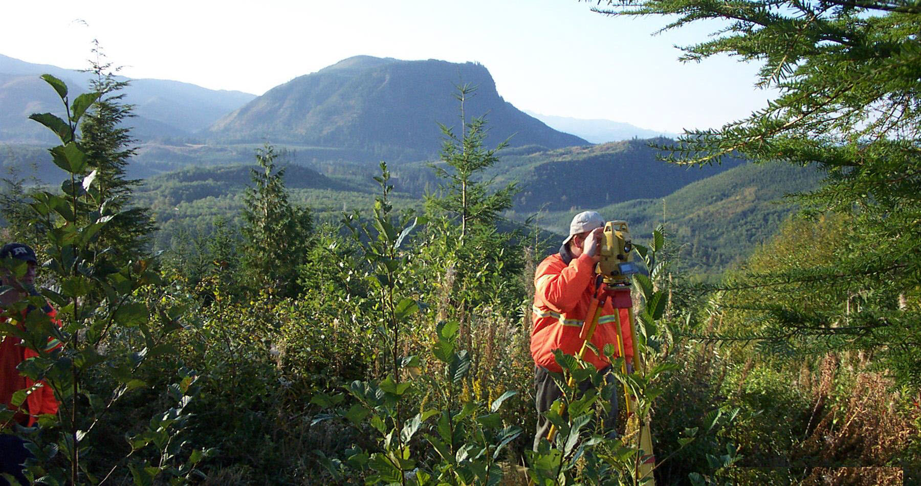
Crones Land Surveying is fully staffed with experienced Surveyors, Field Crews, Project Managers, CAD Designers, and Support Personnel. We have served as consultants and expert witnesses in Court trials. We have performed all types of surveying services from the most simple residential boundary survey to commercial development projects and even accident scenes. If it can be surveyed, we can do it.
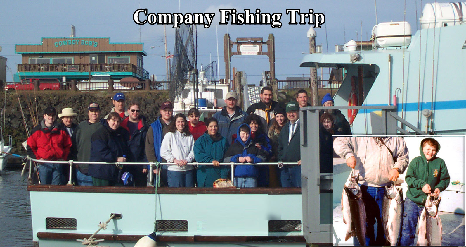
As a family bases business, our staff and employees are all considered part of our family. We strive to give our clients the feeling and friendliness of a local family business, while at the same time, providing a high level of professionalism and experience of a well established company.
We don’t believe in charging our clients for extra work they do not need.With every one of our clients, their projects and needs are unique. We work with our clients to individualize our services to their specific requirements. Our clients pay only for the work they need and request. Another way we remain competitive.
We offer quick turn around times. We make every effort to coordinate with our clients to work with their deadlines or last minute requirements. We’ve been known to “stop the presses” for a coordinated team effort to help one single client meet their deadline.
We offer free estimates, competitive rates, several types of additional discounts, along with seasonal specials. Call our office for discount details or view our pricing & discounts page here on our site.
Our Services
Owned and operated by
James D. Crones, with over 32 years experience in the land surveying industry.
We Provide
Boundary & Lot Surveys, Topographic Surveys, Mapping, Short Plats, Plats, Boundary Line Adjustments, Legal descriptions, Easements, Elevations, FEMA Flood Certificates, Wetland Survey Delineations, Flood and ALTA Insurance, As Built Site Surveys, Environmental Critical Areas, Construction Surveys/Staking, Aerial Support, and Route Surveys.
Office Support
A fully staffed office with our state of the art AutoCAD / MicroStation CAD work stations and field-to-finish mapping system. We produce computer generated maps and exhibits of all types, which can be provided in a variety of different media and formats.
Field Equipment
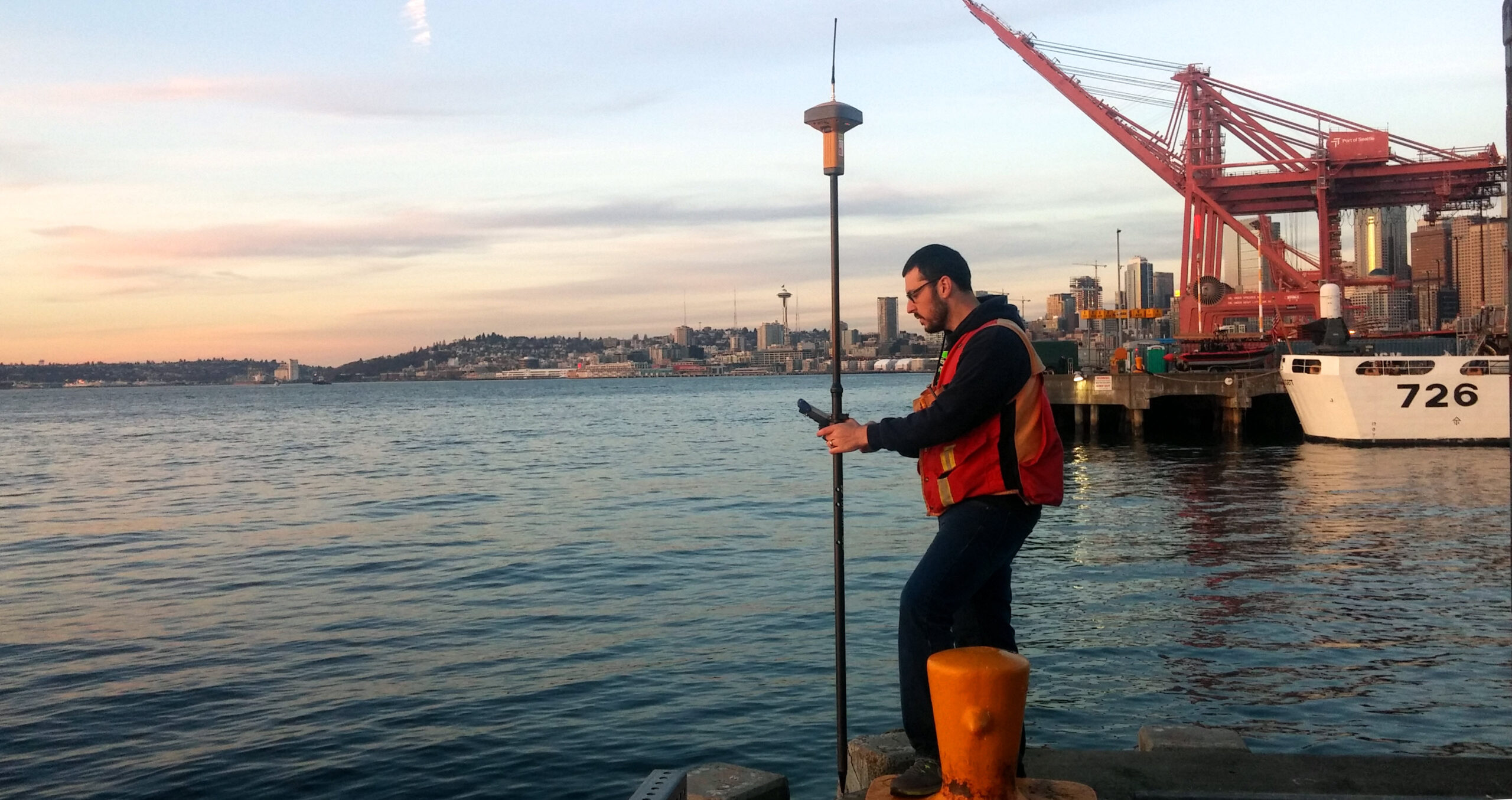
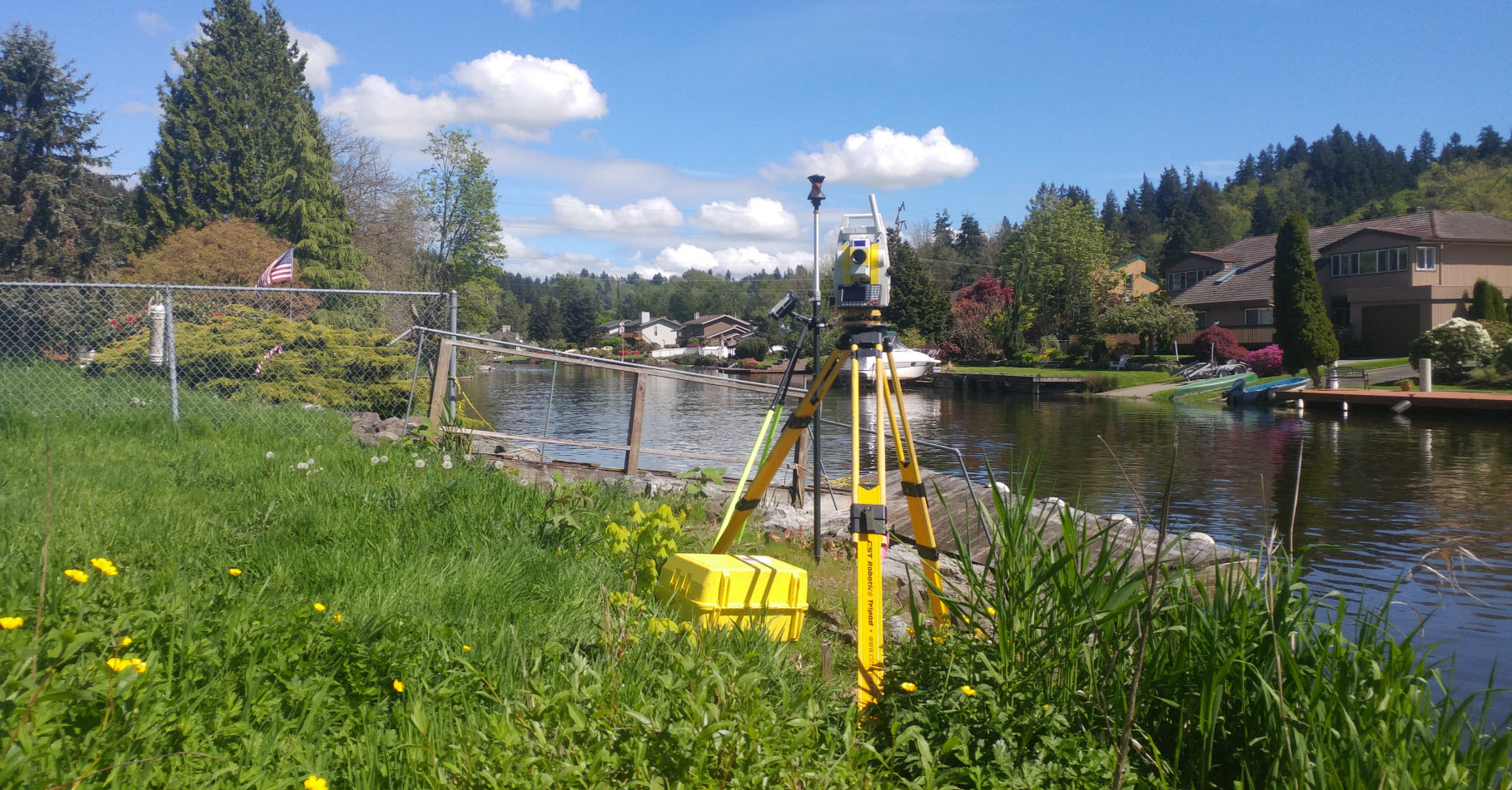
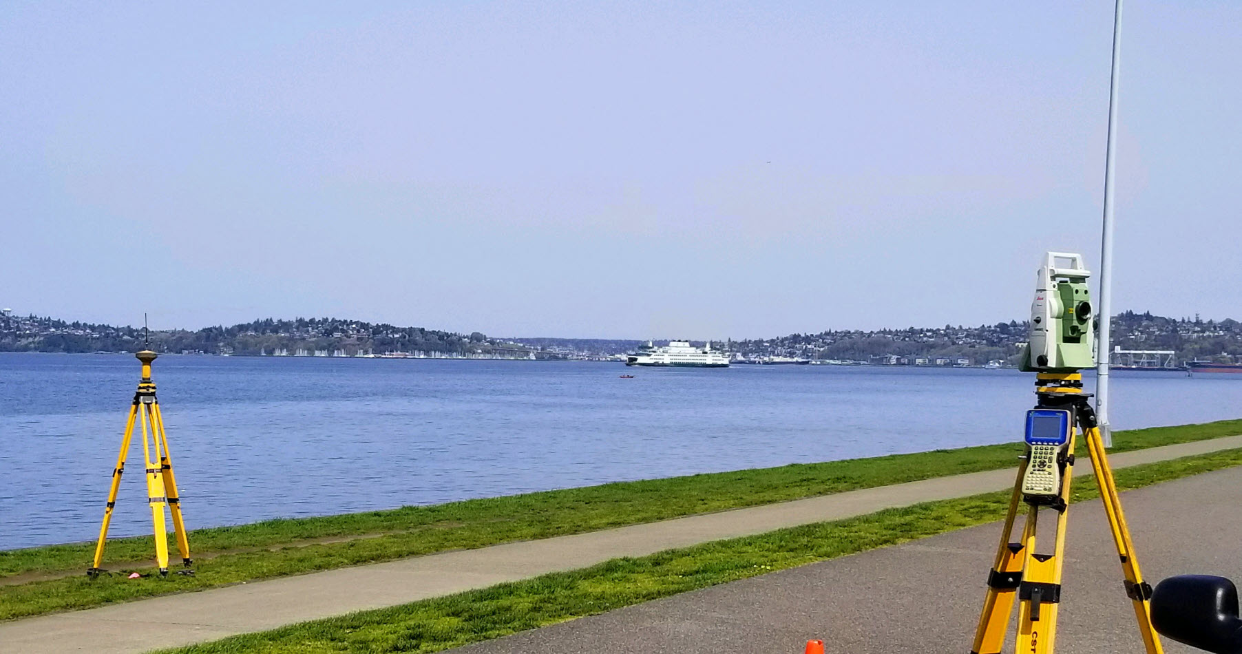
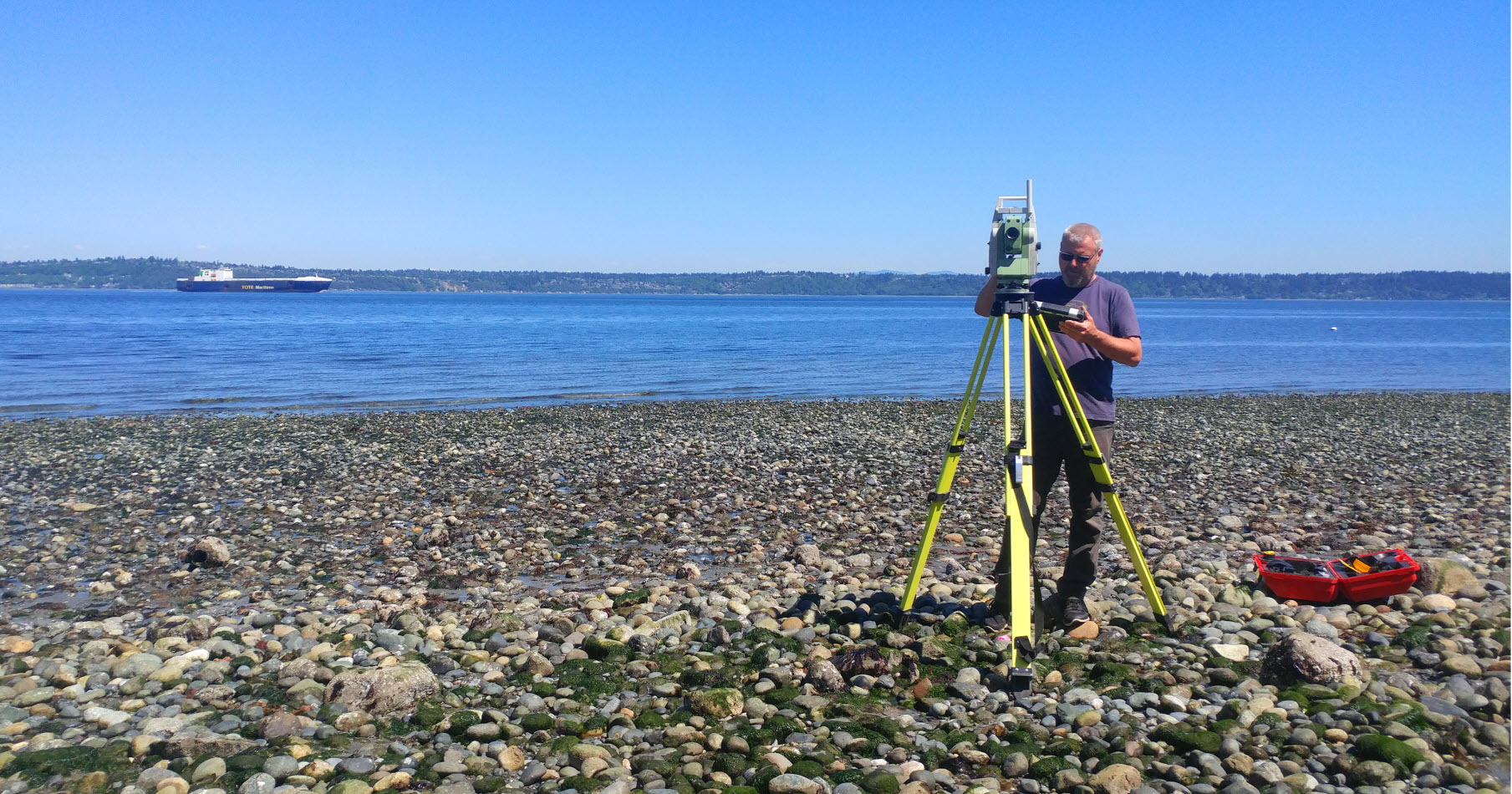
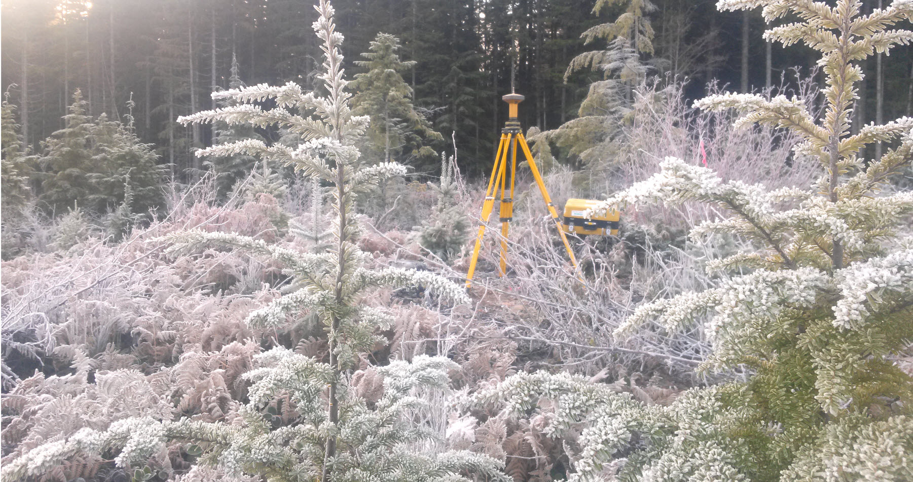
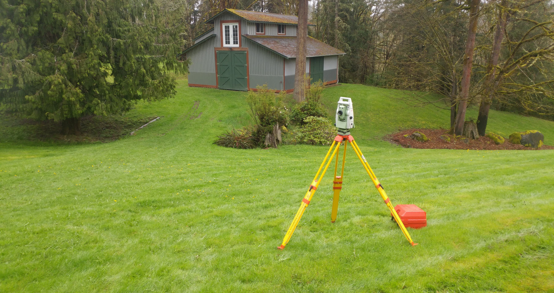
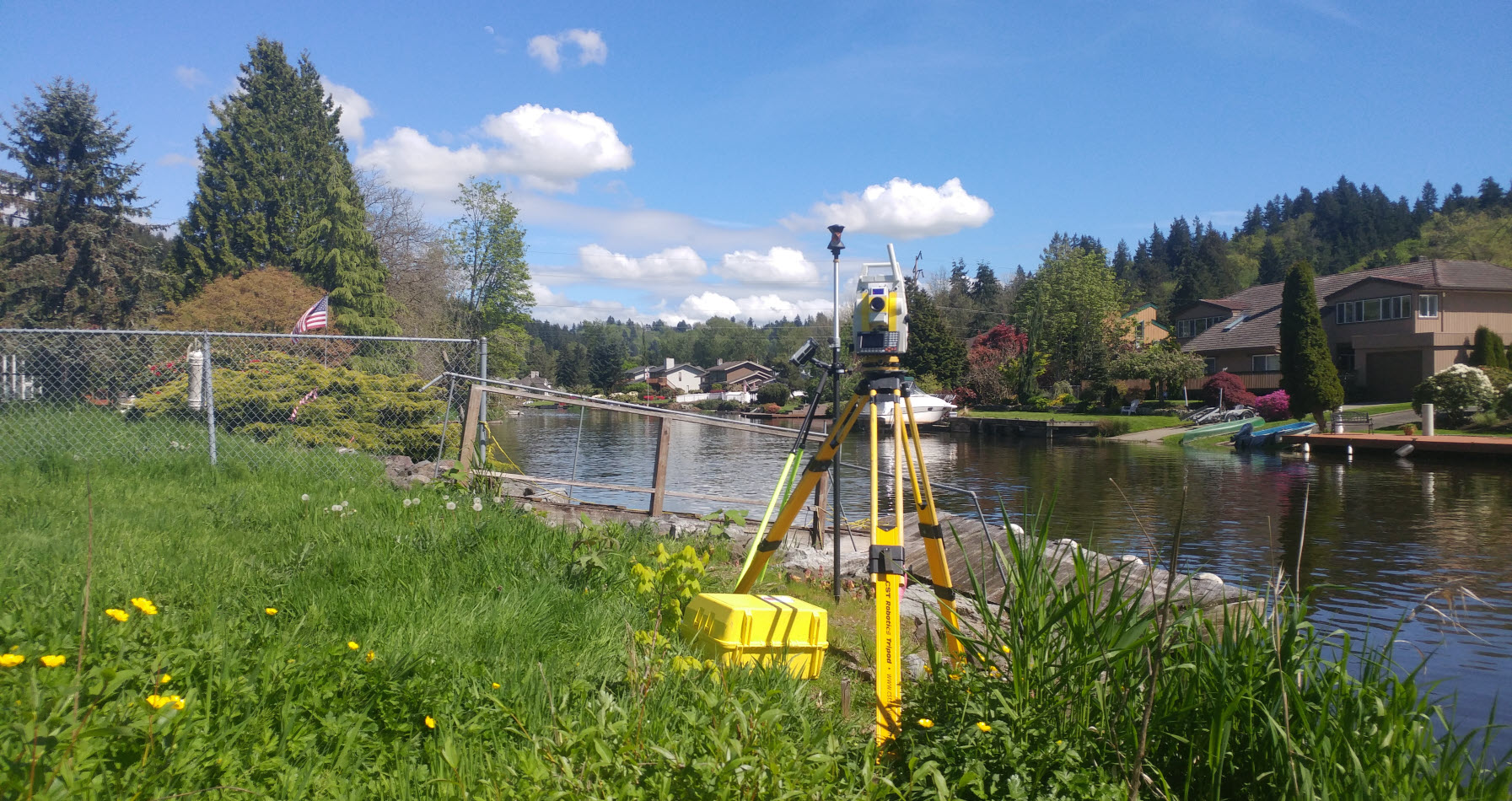
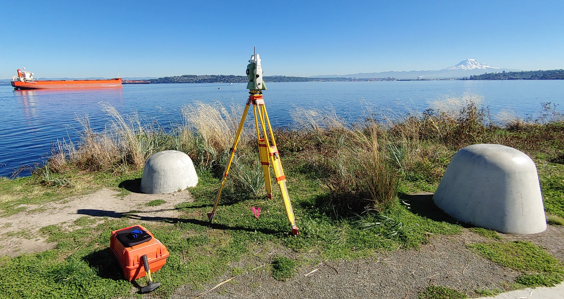
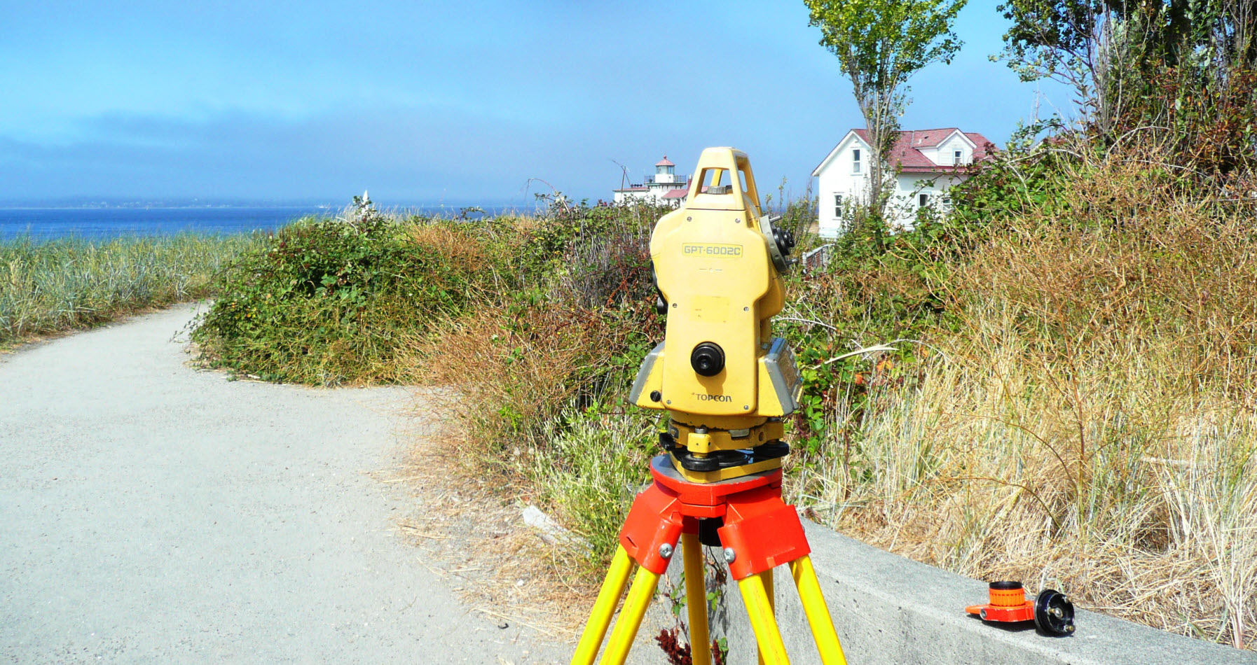
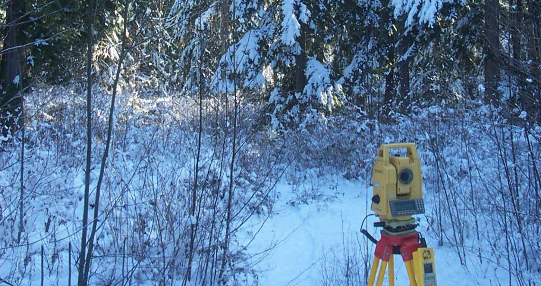
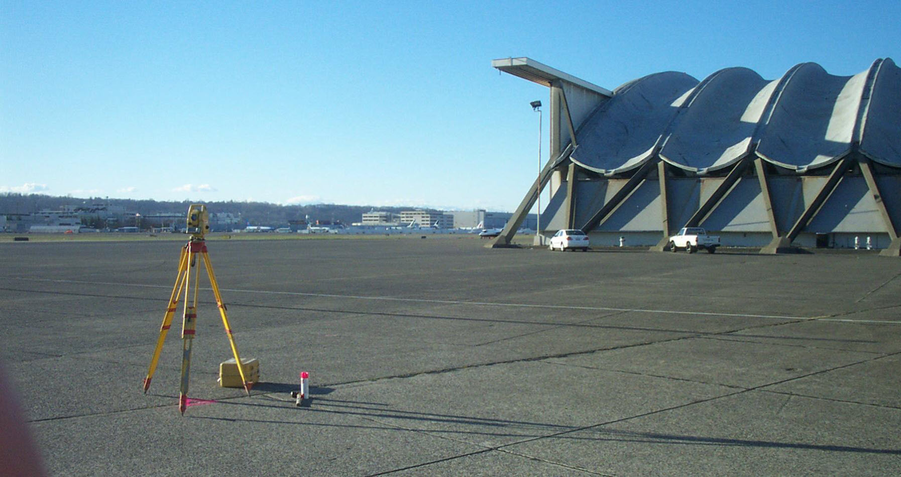
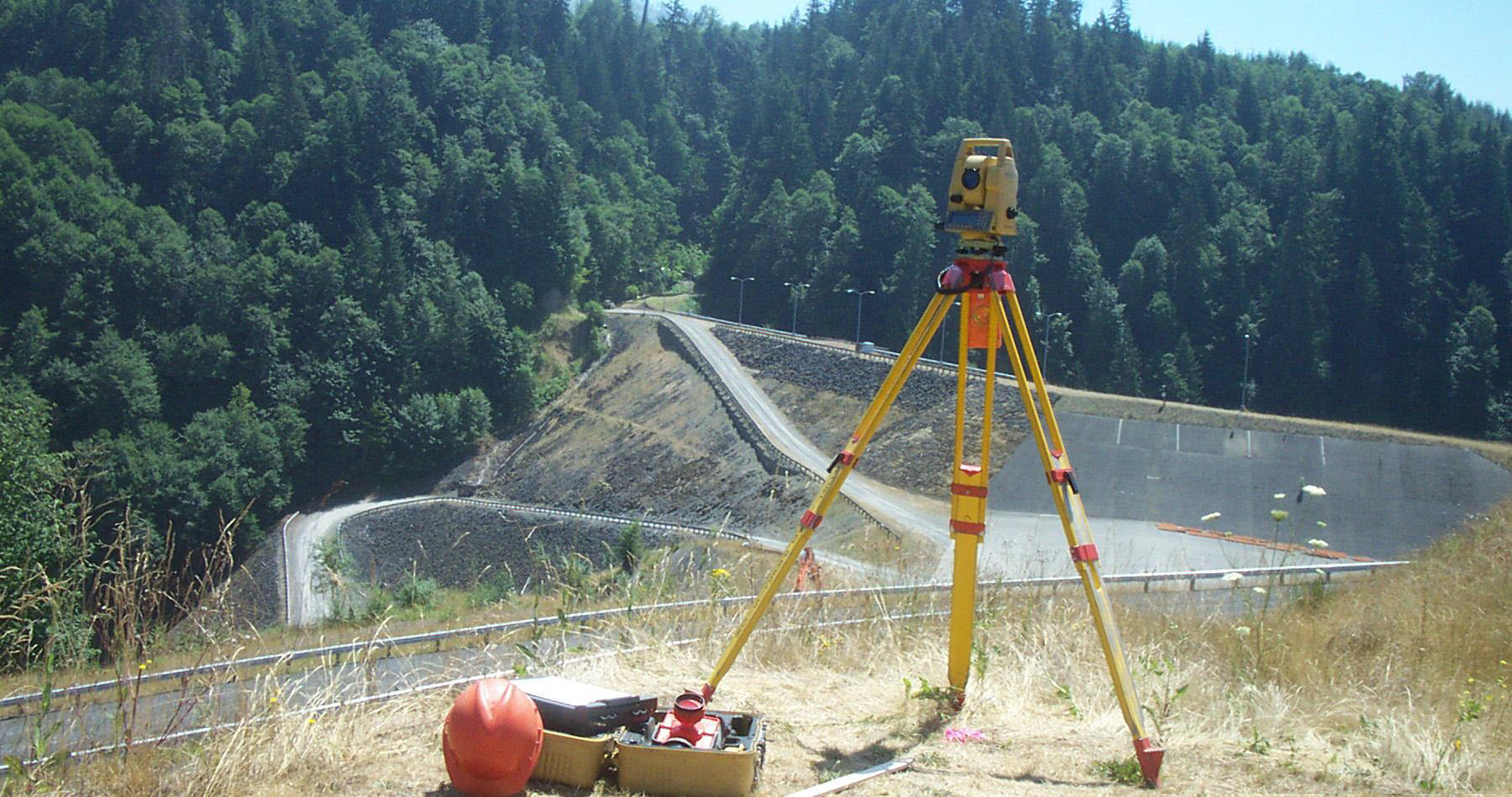
State of the art 2″ Topcon total stations, Robotic Total Stations, and Topcon RTK GPS System.With SMI and SurvCE data collectors, we directly communicate between the field and our computerized layout system to provide our clients the most proficient survey possible.
Port1
Port2
Port3
Port4
Port5
Port6
Port7
Port8
Contact Us
Sed ut perspiciatis unde omnis iste natus error sit voluptatem accusantium
doloremque laudantium, totam rem aperiam, eaque ipsa quae ab illo inventore veritatis et quasi
architecto beatae vitae dicta sunt explicabo. Nemo enim ipsam voluptatem quia voluptas